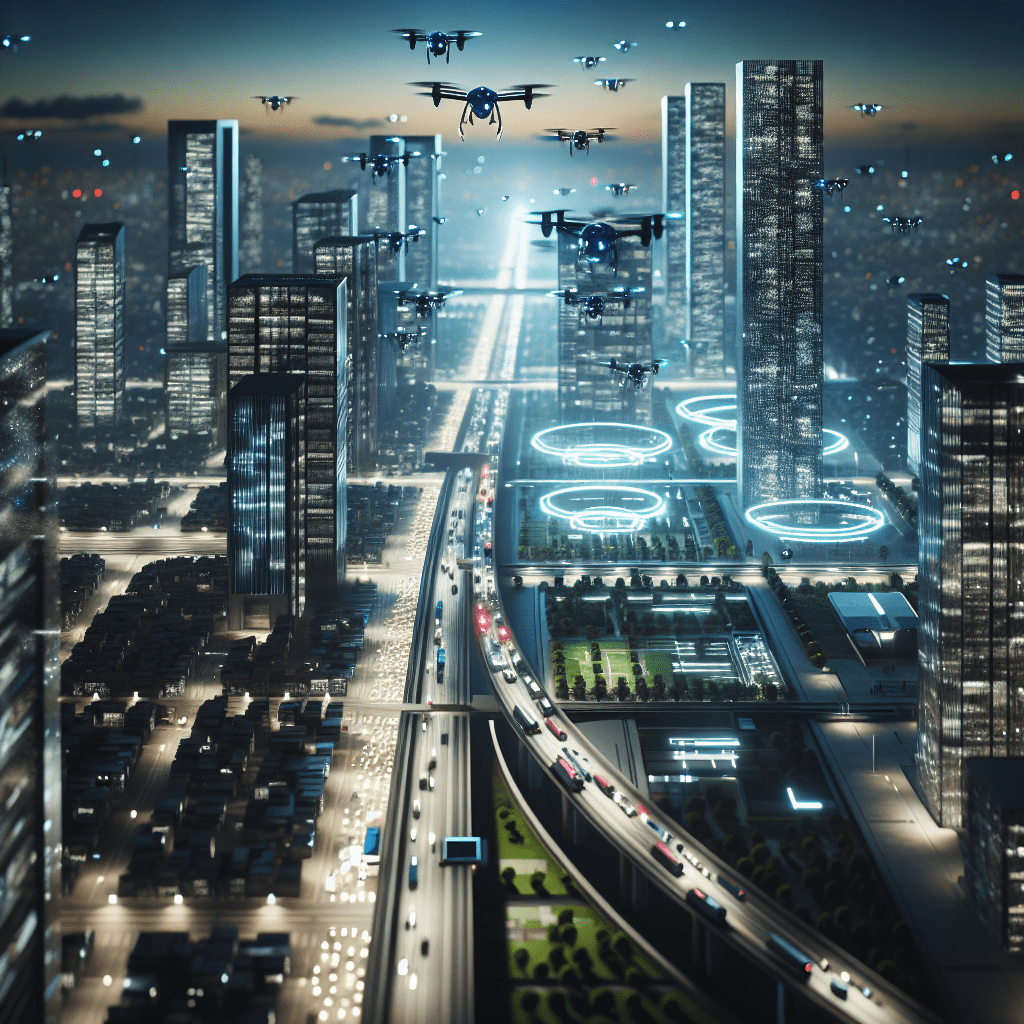
The Role of Drones in Urban Planning
Drones have emerged as transformative tools in urban planning, providing functionalities that significantly enhance traditional methodologies. From offering bird’s-eye views of complex developments to facilitating data collection, the role of drones is multifaceted and profound. Planners can employ high-resolution aerial images to assess land use, monitor changes, and create comprehensive maps, thus ensuring efficient resource allocation and strategic planning. The agility of drones allows for quick aerial surveys that were previously time-consuming and costly when conducted through manned aircraft or ground surveying methods.

Data Collection and Analysis
One of the most compelling arguments for integrating drones into urban planning is their ability to collect and analyze large volumes of data quickly and accurately. By employing sensors and cameras, drones can capture a variety of data, including volumetric measurements of sites and environmental assessments. This information plays a crucial role in identifying urban heat islands, assessing the impact of green spaces, and understanding traffic patterns. As planners strive to create more sustainable environments, access to real-time data from drones aids in making informed decisions that cater not only to immediate needs but also to long-term urban sustainability.
Visualisation and Stakeholder Engagement
Drones also facilitate better visualisation of urban projects. High-quality aerial imagery helps stakeholders grasp complex proposals, enhancing their understanding and engagement. This could be instrumental in garnering support for new projects or initiatives by vividly showcasing potential changes to the urban landscape. Furthermore, the visualisation capabilities extend to simulation technology, where planners can use drone-captured data to create dynamic 3D models, allowing for interactive exploration of proposed developments. This fosters collaboration between planners, architects, and the community, leading to more inclusive planning processes.
Innovative Applications of Drones in Urban Development
The applications of drones in urban planning are not limited to surveying and data collection. Their innovative use cases demonstrate their flexibility and effectiveness in diverse areas of urban development. For example, drones can play a significant role in infrastructure monitoring and maintenance. By regularly surveying bridges, roads, and utility lines, they can identify areas that require repair or upgrading, thus improving urban resilience and safety.
“Drones are set to revolutionise the urban landscape, enabling planners to rethink traditional approaches and integrate cutting-edge technology for smarter cities.”
Urban Infrastructure Inspection
Conducting inspections of urban infrastructure is vital for maintaining safety and operational efficiency. Drones equipped with thermal imaging and multispectral sensors can quickly identify structural issues, such as leaks, cracks, or corrosion, that might be invisible to the naked eye. This ability to perform regular inspections with minimal disruption to traffic or daily activities can save cities considerable time and resources. Additionally, the data gathered from drone inspections can be seamlessly integrated into urban planning frameworks, enabling planners to prioritise maintenance schedules and allocate budgets effectively.
Emergency Responses and Disaster Management
In times of emergencies, drones can provide invaluable support to urban planners and emergency responders. They can deliver crucial real-time information during natural disasters or urban crises, assisting in damage assessment and recovery efforts. For instance, after a flood or earthquake, drones can quickly map affected areas, allowing planners to identify regions in need of urgent relief. This capacity for rapid assessment enhances the city’s resilience and enables an informed response, reinforcing the role of drones as critical tools in the disaster management toolkit.
New Approaches to Urban Planning with Drones
Integrating drones into urban planning signifies a paradigm shift towards more innovative, data-driven, and participatory approaches. As stakeholders seek more sustainable solutions, planners are encouraged to adopt these technological advancements, embracing a new era characterised by enhanced collaboration and insight-driven decision-making. The urban planning landscape is evolving from a predominantly top-down methodology to a more collaborative school of thought, where community engagement is paramount.
Community Involvement through Drones
Drones empower communities by granting them access to detailed and comprehensive views of urban development projects. With drones capturing aerial views of proposed projects, residents become more engaged, armed with the knowledge needed to participate in discussions and feedback. This fosters a sense of ownership over the urban environment, highlighting the importance of citizen input. As urban planners increasingly prioritise public participation, the role of drones as facilitators of empowerment and transparency becomes exceptionally vital.
Challenges and Ethical Considerations
Despite the promises that drones hold for urban planning, several challenges and ethical considerations must be navigated. Issues surrounding privacy, data security, and the regulation of drone airspace present critical hurdles. Urban planners must establish protocols that safeguard citizens’ rights while maximising the benefits drones offer. Collaboration with legal experts and policymakers will be essential in developing frameworks that dictate how drones can be effectively and ethically utilised within urban environments.
Future Outlook: How Drones Might Change Urban Planning
The future of urban planning seems ripe for transformation through the continued integration of drone technology. As drones become more sophisticated and capable, their applications in urban settings will likely expand, nurturing a framework for smarter, more efficient cities. Emerging technologies such as artificial intelligence and machine learning could enhance drones’ capabilities, enabling predictive analytics and more profound insights into urban dynamics.
Integration with Smart City Initiatives
In a globally interconnected world, the concept of smart cities is increasingly gaining traction, and drones could play a pivotal role in this phenomenon. Smart city initiatives leverage technology and data to improve the quality of urban life, and when combined with drone capabilities, the results could be transformative. Drones can contribute to monitoring urban systems, such as transportation networks and energy consumption, facilitating real-time adjustments and optimisations. Such heightened levels of intelligence will prompt more responsive urban planning, aligned with sustainable growth and community needs.
Environmental Monitoring and Sustainability
As urban planners grapple with the realities of climate change and urbanisation, drones will increasingly be utilised for environmental monitoring and assessments. By collecting data on air quality, noise levels, and green space density, drones provide actionable insights for planners looking to enhance the sustainability of urban areas. The ability to regularly monitor these environmental variables can inform policies that prioritise eco-friendliness and public wellbeing, aligning urban development with pressing environmental goals.
Conclusion
The integration of drones into urban planning represents not just a technological advancement but a fundamental shift in how we approach the very fabric of our cities. By harnessing the power of aerial perspective, real-time data collection, and community engagement, urban planners stand to revolutionise their methodologies in ways that were previously unimaginable. As we look ahead, embracing these new tools will be essential for creating cities that not only meet the needs of their inhabitants but also promote sustainability and resilience in an ever-changing world. Explore how our range of drones can aid in your urban development projects.
Frequently Asked Questions
How are drones used in urban planning?
- Drones are used in urban planning for surveying and mapping, monitoring construction sites, and providing aerial photography to aid in planning and development.