Geo-Fencing Technology: Keep Your Aero 2 Drone …
In This Article
- Geo-fencing technology uses virtual boundaries to restrict or guide drone movements.
- The Aero 2 features built-in smart geo-fencing with real-time updates and emergency failsafes.
- Legal compliance is easier and more reliable with automated geo-fencing systems.
- Setting up geo-fencing is simple, but best practices are essential for maximum safety.
- Emerging trends include live dynamic geo-fencing and AI-driven route prediction.
Understanding Geo-Fencing Technology
The Basics of Virtual Boundaries
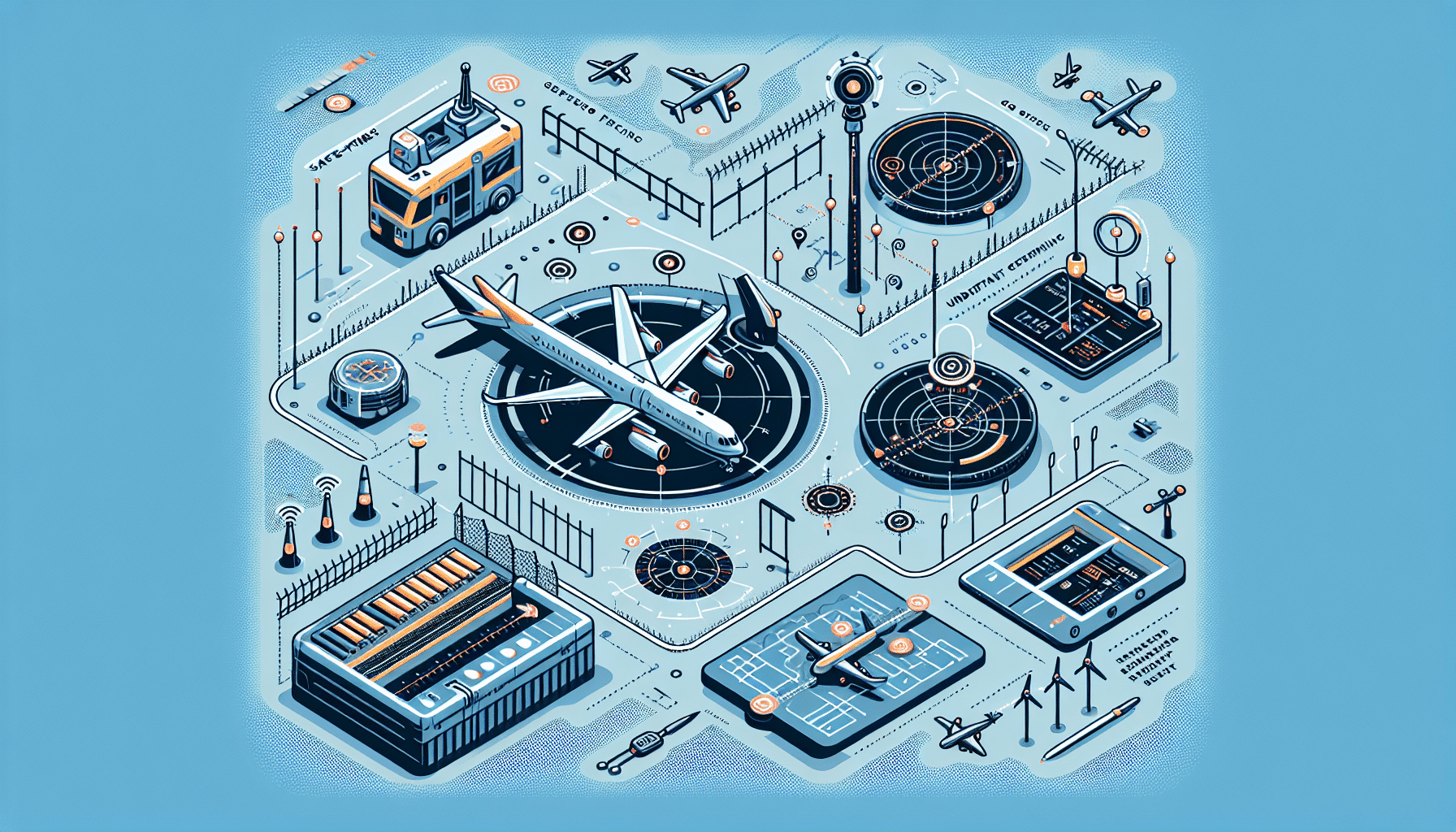
Geo-fencing technology is a modern solution that allows drone users to establish virtual boundaries within which their drone can operate. By leveraging GPS and radio frequency identification (RFID), geo-fences instruct a drone when to remain within or steer clear of specific zones. This capability is especially important in today’s complex airspace, where flying a drone safely and legally requires awareness of restricted locations, such as airports, government facilities, and urban centres.
Essentially, a geo-fence acts like an invisible digital barrier. When a drone crosses this boundary, the technology can trigger various responses. These might include alerts to the operator, automatic course corrections, or even halting the drone’s movement to prevent unauthorised entry. The real-time responsiveness of geo-fencing technology ensures pre-set compliance even when human oversight falters.
Today’s drones, such as the Aero 2, come pre-equipped with smart geo-fencing systems that integrate with their onboard GPS modules. Operators gain enhanced situational awareness and increased confidence, knowing their drone flight paths align with safety regulations. More practically, companies deploying drones for commercial tasks — think surveying, agriculture, or filmmaking — benefit from minimised risk and optimised airspace management using these digital perimeters.

Why Geo-Fencing Matters for Drone Safety
Reducing Risk in Flight Operations
One of the most compelling reasons for integrating geo-fencing technology into drones like the Aero 2 is risk mitigation. Drones, by their very nature, can present hazards if operated mistakenly or without adequate safety systems. Geo-fencing actively reduces the chance of accidents by preventing unauthorised or unsafe navigation. It offers a digital safety net that bolsters the user’s control, even in high-density or restricted areas.
For recreational, commercial, and government operators alike, the consequences of flying into restricted zones can be severe. These may include costly fines, equipment seizure, or breaches of national airspace regulations. By programming boundaries in advance, pilots of the Aero 2 can fly with confidence, knowing their drone will not breach no-fly zones or veer off-course unexpectedly.
Importantly, geo-fencing technology also supports safer take-off and landing operations. By marking out safe areas and exit paths, drones can operate with fewer surprises. This results in smoother missions and enhanced public safety, especially in urban environments.
“Geo-fencing transforms drone flights from a risky venture into a regulated and reliable operation” — Aviation Safety Authority UK
Legal Context and Flying Within Approved Zones
Compliance with national aviation standards is a cornerstone of responsible drone usage. In the UK, the Civil Aviation Authority (CAA) governs how and where drones can be flown. Violating these regulations can incur serious liabilities for pilots. Fortunately, geo-fencing technology directly supports legal compliance by aligning drone activity with pre-mapped regulatory constraints.
Many software providers maintain up-to-date databases of no-fly zones, which manufacturers like the Aero 2 tap into. This means pilots are automatically warned or grounded if they attempt to enter restricted airspace. Compliance becomes seamless, not burdensome, allowing operators to focus on their objectives rather than constantly monitoring their surroundings for legal infringements.
When flying near sensitive areas such as prisons, airfields, or assembly locations, drone users must ensure they have proper authorisations or licenses. Aero 2 detects proximity to such locations and alerts the user before boundary breaches occur. This not only averts penalties but also builds a positive reputation in the drone community and among regulators.
Aero 2: Built-In Safety with Smart Geo-Fencing
The Aero 2 drone has been engineered for security and reliability. A standout feature is its sophisticated geo-fencing technology that integrates directly with onboard sensors and GPS modules. Unlike third-party geo-fencing solutions that depend on manual input, Aero 2 automates much of the process, offering dynamic protection for users at all skill levels.
The intuitive control panel allows users to configure personal flight boundaries while receiving real-time data on drone location. More impressively, the Aero 2 syncs with local airspace maps that update frequently. This assists users in avoiding inadvertent intrusions into evolving flight-restricted environments.
Furthermore, the Aero 2 features emergency override functions. If the drone experiences a flyaway situation — often due to GPS signal loss or high winds — the geo-fencing circuit kicks in, using predictive modelling to keep the drone within designated airspace until it is under stable manual or automatic control again.
Avoiding No-Fly Zones and Flyaway Scenarios
No-fly zones are areas where drone operations are restricted or outright banned due to sensitivity or security concerns. Examples include military installations, certain urban landmarks, and events involving large crowds. Flyaway scenarios, on the other hand, involve a drone losing connectivity and drifting uncontrollably — potentially into unsafe areas.
Geo-fencing reduces both risks dramatically. When enabled correctly on a device like the Aero 2, the drone will default into containment mode if it attempts to breach a no-fly zone. In these instances, the quadcopter either hovers or returns to its launch point. Similarly, if connection to the pilot’s controller is lost or erratic weather interferes with navigation, geo-fencing keeps it from straying into harm’s way.
Pairing geo-fencing with fail-safe routines such as Return-To-Home (RTH) creates a multi-layered safety net. These layers work cohesively to prevent unintended trespassing, injuries, or property damage. For new drone pilots, this is an extra level of confidence in mastering the flight environment.
How to Set Up Geo-Fencing on Your Aero 2 Drone
Setting up geo-fencing on the Aero 2 drone is straightforward, yet profoundly effective. Begin by accessing the drone’s mobile app or control software on your laptop. Locate the ‘Flight Limits’ or ‘Geo-Fencing Settings’ section. Here, users input desired boundaries by either drawing them on a map or entering GPS coordinates.
Most operators will choose Circular or Polygonal geo-fence modes. Circular fencing sets a radius around the pilot’s take-off point, while Polygonal allows for more intricate perimeter shapes. Once the geo-fence is activated, the Aero 2 will immediately begin monitoring its boundaries upon launch.
A valuable recommendation is to dual-check the perimeter against real-world infrastructure and hazards. For instance, ensure trees, power lines, and buildings are accounted for even within approved zones. Also confirm that the home point auto-saves upon launch, particularly if the pilot intends to relocate during flight.
User Tips: Best Practices for Geo-Fencing Usage
Having geo-fencing enabled is only part of the equation. Understanding how to optimise its capabilities elevates drone professionalism and performance. Firstly, before each flight, check that your firmware and airspace maps are updated. This ensures compatibility with the latest regulatory changes and obstacle data.
Secondly, avoid over-relying on automated settings. Manual validation of virtual boundaries on the map offers extra assurance. Always perform a short low-altitude test of the geo-fence. Ensure the drone behaves as expected when approaching the set perimeter.
Additionally, do not disable geo-fencing unless operating in remote locations after full site risk assessment. The feature exists to aid users, not restrict capabilities arbitrarily. Advanced operators use flexible geo-fences to fine-tune flights across diverse missions, from aerial photography to surveying. Learn to modify settings on the fly using Aero 2’s companion app for maximum adaptability.
Need more actionable flying advice for Aero 2? Check this guide: Learn more about Geo-Fencing for Drone Safety
Challenges and Limitations of Geo-Fencing
Despite the advantages, geo-fencing technology is not without limitations. The accuracy of virtual boundaries can sometimes be affected by signal obstructions such as tall buildings, mountains, or electromagnetic interference. This could create false warnings or, on rare occasions, delayed response times.
Also, not all restricted zones are instantly recognised. New or temporary airspace restrictions might not be included in the latest database, posing risks unless pilots cross-reference with official NOTAMs (Notice to Airmen) or check with aviation authorities manually.
Furthermore, experienced users may feel constrained by overly conservative geo-fence presets. While Aero 2 offers more flexible parameters than most, users still must find the balance between restriction and operational freedom. Use of advanced settings should always be guided by a solid understanding of both the technology and the flight landscape.
Future Trends in Drone Geo-Fencing Technology
The evolution of drone geo-fencing will likely transform how UAVs operate in integrated airspaces. We see a trend toward real-time dynamic geo-fencing, where fly zones are updated live via cloud connectivity and AI-driven processing. Aero 2 already leans into this future with semi-automated updates and adjustable airspace settings.
Additionally, advances in AI prediction models will allow drones to predict flight conflicts even before they arise and adjust accordingly. Integration with other drones and air traffic control systems could foster a shared geospatial awareness ecosystem. This can reduce in-air collisions and optimise fleet movements across industries.
Private and public sectors are already collaborating on unified systems that automatically register drones, geo-fence in real time, and even execute remote shutdowns if necessary. Compliance will become a feature, not an afterthought. Aero 2’s roadmap reflects an embrace of this direction, continuously adding intelligent firmware features built upon user feedback and regulatory demands.
For more developments in drone legislation and safety infrastructure, visit: Geofencing requirements for onboard safe operation
Conclusion: Smarter, Safer Flying with Aero 2
[CONCLUSION_CONTENT]
Geo-fencing technology is not a trend — it is a necessity. In the ever-evolving landscape of drone flight, solutions like the Aero 2 shine by integrating proactive safety features that align with real-world operational challenges. By embracing this technology, pilots gain more than compliance; they gain confidence, control, and credibility.
From planning missions to mid-flight risk management, smart geo-fencing redefines how drones engage with their environment. From hobbyists to large commercial operators, leveraging geo-fencing translates into smoother, safer, and legally secure drone activities. Aero 2 leads this frontier, delivering not just performance, but protection woven into every rotor turn.
Explore more Aero 2 insights at: Read a related article
Great guide on safety-first-understanding-geo-fencing-for-aero-2 – Community Feedback
What is geo-fencing in drone operations?
Geo-fencing establishes virtual boundaries using GPS or similar tech, ensuring drones like Aero 2 operate only within permitted areas and avoid restricted zones.
How does geo-fencing enhance safety for Aero 2?
Geo-fencing prevents accidental entry into no-fly zones and notifies pilots if their drone leaves designated limits, reducing risk of accidents or legal violations.
Can geo-fencing stop a drone from flying away?
Yes, geo-fencing can prevent drones from leaving a pre-set area, providing alerts or automatic flight restrictions to minimize flyaway risks.
Is geo-fencing required by law for drones?
In many regions, regulations mandate geo-fencing for drones to help comply with airspace rules and safety standards, especially for commercial use.

