Geo-fencing for Drones: Enhance Security Easily…
In This Article
- Geo-fencing relies on GPS and software to create invisible flight boundaries.
- Enhances compliance with national and international aviation regulations.
- Reduces risks of drone collisions, espionage, and public endangerment.
- Supports real-time dynamic zone changes for emergency or rapid-response scenarios.
- Requires updated firmware and reliable GPS connections for effectiveness.
- Different industries—from logistics to agriculture—leverage geo-fencing daily.
- Future technologies will integrate AI and blockchain for smarter airspace control.
What Is Geo-fencing and Why It Matters for Drones
Understanding Geospatial Barriers
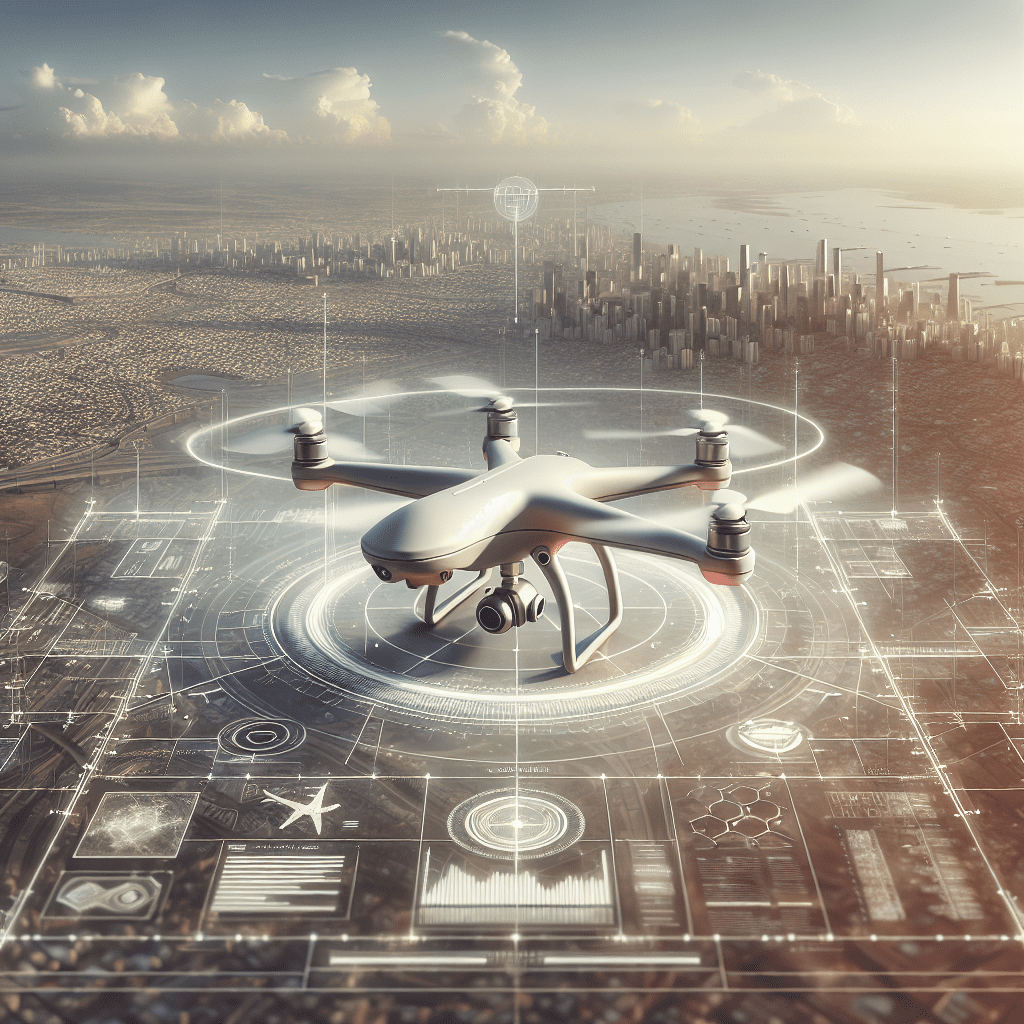
Geo-fencing for drones refers to the use of GPS or RFID technology to create virtual geographic boundaries. This enables drone operators or authorities to define permitted or restricted zones, ensuring drones remain within legal and safe flight paths. These digital boundaries are enforced through drone software and send alerts or restrict propulsion when unauthorised airspace breaches are attempted. Geo-fencing for drones is essential for maintaining regulatory compliance and increasing airspace safety for both commercial and recreational UAV users.

Benefits of Geo-fencing in Drone Operations
Improving Flight Safety & Compliance
Implementing geo-fencing for drones plays a critical role in enhancing drone security measures. These virtual boundaries help prevent drones from entering no-fly zones—such as airports, military bases, prisons, and densely populated urban zones—thus reducing the risk of accidents or unauthorised surveillance. Additionally, geo-fencing assists operators in complying with national aviation regulations, such as those imposed by the UK Civil Aviation Authority or international bodies like the FAA.
Geo-fencing also benefits commercial drone operations. Delivery drones, for instance, require reliable navigation through complex environments. Geo-fencing not only guides them safely but ensures they adhere to predefined pathways. This results in increased efficiency, reduced operational risk, and stronger public trust in drone-based services.
“Geo-fencing isn’t just about restrictions—it’s about intelligent guidance for responsible drone utilisation.”
How to Set Up Geo-fencing on Your Drone
Setting up geo-fencing for drones begins with understanding your flight objectives. Start by using the manufacturer’s native controller app—such as DJI Fly or Parrot FreeFlight. Within these apps, operators can define coordinate-based zones directly on a map interface. Many platforms allow the manual drawing of polygonal perimeters, specifying maximum altitudes and geospatial limitations.
After defining the virtual perimeter, save the configuration and link the setup with your drone’s firmware. Test the parameters by conducting a supervised trial flight in a low-risk environment. Ensure that alerts are activated and that return-to-home functions are configured for fail-safe operations.
More advanced systems use third-party planning tools or integrate GIS mapping software to configure real-time dynamic geo-fencing. This is particularly helpful for commercial services where zones may change hourly due to construction sites or emergency areas.
Best Apps and Tools for Geo-fencing Implementation
For those looking to optimise drone safety, several apps and tools can facilitate seamless implementation of geo-fencing. DJI’s FlySafe system is widely regarded as an industry standard, including a comprehensive database of regional no-fly zones that auto-update. DroneDeploy is another popular option offering enterprise geo-fencing functionalities with cloud-based dashboards.
AirMap offers airspace authorisation alongside geo-fencing capabilities. It allows real-time monitoring of manned and unmanned aircraft to enhance situational awareness. UGCS (Universal Ground Control Software) is more geared toward professional pilots, allowing layered route planning with conditional logic and custom restrictions. All these tools support geo-fencing for drones and ensure compliance with evolving regulatory environments.
Do not forget to cross-reference your chosen app with local airspace data and regulations. In-depth explainer on geofencing in drones offers global airspace charts to keep drone pilots up to date with live no-fly zones and geo-fencing alerts, enabling safer and lawful flying.
Common Challenges and How to Overcome Them
While geo-fencing for drones offers many advantages, it is not without its operational headaches. False positives are common where drones are prematurely grounded despite flying in approved airspace. This can stem from outdated firmware or GPS inaccuracies. Ensuring frequent software updates and calibrating your compass before each flight can reduce these false alerts significantly.
Another challenge lies in customising geo-fencing parameters. Some entry-level drones lack flexibility in drawing specific virtual boundaries. Pilots should consider investing in more advanced UAV platforms or compatible geo-fencing software. Similarly, excessive reliance on GPS alone can be problematic in poor weather conditions or remote areas with weak satellite coverage. Integrating redundant navigation systems or RTK (Real-Time Kinematic) modules may mitigate these concerns.
Always perform thorough pre-flight checks, confirm firmware versions, and test geo-fencing functions under controlled settings. Doing so enhances both safety and pilot confidence, especially in critical operations. Learn more about Drone Security & Safety Strategies
Advanced Geo-fencing Features in Modern Drones
Today’s high-end drones come equipped with enhanced geo-fencing capabilities that go well beyond basic no-fly zones. Dynamic fences can now automatically shift based on emergency advisories pushed through APIs. This real-time responsiveness allows authorities to instantly block off areas during public emergencies, sporting events, or natural disasters.
AI integration has also revolutionised geo-fencing for drones. Machine-learning algorithms predict potential zone breaches based on speed, trajectory, and flight history. Drones can now self-correct paths or initiate landing sequences autonomously without pilot input. Some UAV models further allow for user-defined flight corridors that integrate seamlessly into Unmanned Traffic Management (UTM) systems, fostering safer airspace coexistence.
Geo-fencing in swarm drone operations is another emergent field. Coordinated fleets can now follow synchronised pathways while maintaining tight formation control—all within custom geo-fenced cadres. These features set new benchmarks for drone logistics, surveillance, and disaster response missions.
The Role of Firmware and GPS Reliability
Firmware acts as the bridge between geo-fencing software and drone hardware. An outdated firmware can render the entire fencing system ineffective or non-compliant. It’s crucial to check the manufacturer’s release notes regularly and update firmware whenever changes in no-fly zones occur. Many manufacturers, including DJI and Yuneec, have automatic update protocols built into their apps, simplifying this process.
GPS reliability, on the other hand, determines how precisely the geo-fencing constraints are respected. Satellite signal interference, magnetic field disruptions, or flying near tall urban structures may weaken your drone’s GPS lock. These instances often cause “GPS lag”, leading to perimeter breaches or loss of control. To counteract this, high-end drones incorporate GLONASS or Galileo in tandem with GPS to ensure accuracy.
Advanced drones also feature internal geofencing logs that register any breaches or override attempts. These logs can prove useful for internal audits and regulatory compliance checks. Read a related article
Limitations and Considerations of Drone Geo-fencing
Despite its many benefits, geo-fencing for drones has limitations that users must keep in mind. First, no-fly zone databases are not always synchronised globally. A zone considered prohibited in one country might be unrestricted in another, causing compliance ambiguities for international drone operators.
Geo-fencing restrictions may also be bypassed by disabling software protocols or employing custom firmware. This raises concerns about intentional boundary breaches, particularly in urban or sensitive environments. Additionally, pilots of emergency drones may require temporary override capabilities, putting them in conflict with static no-fly database parameters. Manual geo-fencing entry is another area of vulnerability—errors in inputting latitude/longitude coordinates can render the virtual fence useless.
Budget drones often feature rudimentary or no geo-fencing mechanisms at all. To address this, some industry stakeholders propose making advanced geo-fencing capabilities mandatory for all commercially sold drones above a certain weight class. While this requires legislative change, the benefits to collective airspace safety are substantial.
Case Studies: Successful Use of Virtual Boundaries
Several sectors have seen immense success with geo-fencing for drones. In agriculture, drones are increasingly relied upon for crop monitoring and pesticide delivery. Virtual boundaries prevent these UAVs from drifting into residential areas or nature reserves, ensuring precision and safety. Major logistics companies have used geo-fencing to restrict delivery drones to tightly-controlled zones, avoiding traffic congestions or legal complications.
In the public safety domain, police forces across the UK have adopted drone geo-fencing to assist in crowd management during large events. For example, the Thames Valley Police utilised geo-fencing to monitor protests while keeping drones within sanctioned perimeters. Another compelling instance comes from wildlife conservation where drones fitted with geo-fences helped ward off poachers while avoiding protected animal habitats.
These practical applications showcase the scalability and flexibility of geospatial drone boundaries in various industries, reiterating their pivotal role in modern drone strategy.
Future of Drone Security and Geo-fencing Innovations
The future of geo-fencing for drones will likely tie into broader developments in smart city infrastructure and 5G connectivity. As drones become mainstream, especially in logistics and emergency response, stricter but intelligent geo-fencing protocols will be vital. We may see blockchain-based airspace authorisation systems that offer real-time validation of legal flight paths.
Another developing trend is collaborative airspace management between drones and manned aviation systems. With increased UAV traffic, systems that dynamically allocate drone corridors based on predictive analytics will require next-gen geo-fencing algorithms. Integration with augmented reality may allow pilots to visualise geo-fences through AR goggles or head-up displays.
Expect legislation to evolve as well, potentially requiring drones above a certain size or weight to be pre-fitted with geo-fencing chips certified by regulatory bodies. As ethical concerns arise, especially surrounding privacy, advanced fencing can help establish digital “do-not-surveil” zones. These emerging concepts mark an exciting chapter in aerial navigation and safety.
Conclusion: Geo-fencing Is the First Line of Defense
[CONCLUSION_CONTENT]
Geo-fencing for drones is more than a safety net—it is the foundation of secure, efficient, and compliant UAV operations. By creating invisible boundaries, drone pilots and organisations can ensure their operations are legal, ethical, and controlled. With innovations advancing rapidly, geo-fencing will inevitably become standard practice in civilian and commercial UAV sectors. Whether you’re enforcing no-fly zones or setting precision delivery paths, integrating geo-fencing is an investment in safety and professionalism.
Great guide on how-to-use-geo-fencing-to-enhance-drone-security-interactive – Community Feedback
How does geofencing work for drones?
Geofencing sets virtual boundaries using GPS coordinates, restricting drone movement to predefined areas and enhancing operational safety.
How do I set up geo-fencing on my drone?
Most modern drones allow geo-fence setup via their flight control apps. You specify a location, radius, and set parameters for entry and exit notifications.
Is drone geofencing fully secure?
While geofencing greatly improves security, it can be bypassed with GPS spoofing. Using assisted GPS and updated firmware helps improve reliability.

