AI Drone Navigation: Unlocking Precision and Au…
In This Article
- AI drone navigation integrates machine learning, sensor fusion, and real-time data analysis.
- Benefits include improved safety, route optimisation, and greater mission autonomy.
- Industries from agriculture to energy are already seeing tangible gains from AI-equipped drones.
- Obstacle avoidance and real-time decision-making are core to intelligent navigation capabilities.
- Challenges include computational limits, data biases, and ethical concerns.
- Future trends point towards swarm intelligence, neuromorphic computing, and 5G integration.
- Users must assess software compatibility, customisation, and security before deployment.
- Robust regulatory frameworks are essential to ensure responsible use and public trust.
Understanding AI in Drone Navigation
Machine Learning and Sensor Fusion
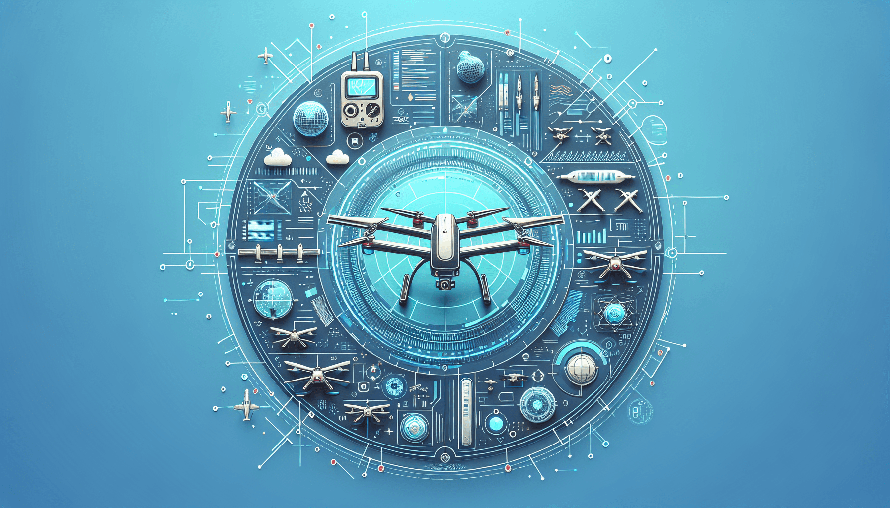
AI drone navigation refers to the sophisticated integration of algorithms and machine cognition that enable autonomous drones to perceive, analyse, and adapt to their surroundings with minimal human intervention. This technology leverages a combination of machine learning, computer vision, and neural networks to interpret complex environments in real time. At the heart of AI drone navigation is sensor fusion—the process by which data from multiple sensors such as LiDAR, infrared, ultrasonic, and GPS are blended to create a cohesive situational awareness map. These combined data points allow drones to localise themselves accurately, even in GPS-denied areas.
Machine learning enhances this process by continuously evolving drone behaviour based on past experiences. For instance, reinforcement learning allows a drone to learn optimal flight paths by receiving positive feedback from successful objective completion. Over time, navigation algorithms become more adept at recognising patterns such as moving objects, aerial routes, and changing weather conditions. These adaptive systems are instrumental in environments where static rule-based programming would falter, such as crowded urban settings or during disaster relief missions. Through AI drone navigation, drones are not merely following pre-scripted routes—they are thinking, analysing, and reacting.

Benefits of Intelligent Navigation Systems
Enhancing Safety and Efficiency
Intelligent navigation systems bring a transformative edge to drone technology, markedly improving both safety and operational efficiency. Traditional drone operation relies heavily on user piloting and rigid waypoints. However, AI drone navigation systems dramatically reduce reliance on human input by autonomously sensing hazards and selecting safer flight paths. These systems are particularly vital in scenarios where reaction time is critical, such as avoiding sudden obstacles or identifying no-fly zones.
In terms of energy conservation, AI algorithms can optimise routes to prolong battery life, ensuring extended operational windows and reducing the need for frequent recharging. Additionally, intelligent systems can monitor internal and environmental metrics in real time, such as rotor health or air density, prompting adjustment to flight patterns or emergency landings as needed. This significantly reduces the likelihood of mechanical failure mid-air. Moreover, AI-driven navigation often allows multiple drones to coordinate efficiently, which is ideal for fleet operations like agricultural monitoring or traffic management across smart cities.
“AI-enabled drones are pushing the limits of what autonomous flight can achieve with unparalleled safety and adaptability.”
Applications Across Industries
AI drone navigation is not a theoretical concept confined to research laboratories—it is actively transforming day-to-day operations across multiple industries. In agriculture, AI-equipped drones monitor crop health by analysing variations in colour, size, and chlorophyll content from aerial images. These drones make real-time adjustments to their routes and focus points, ensuring efficient data collection over large farm areas. In construction, AI drones map evolving sites, identifying structural inconsistencies that may signify safety hazards.
The energy sector also benefits immensely. AI-powered drones inspect wind turbines and power lines, navigating tight corridors autonomously while detecting faults using thermal imaging and machine learning algorithms. Similarly, in public safety and emergency response, drones equipped with intelligent navigation can access areas rendered inaccessible by natural disasters. They assess damage, detect motion for search and rescue, and relay findings without requiring ground-based operators to enter hazardous zones. These real-world implementations exemplify the growing trust in AI drone navigation, which is steadily becoming an industry benchmark.
Dynamic Obstacle Avoidance Techniques
Obstacle avoidance is fundamental to the safe operation of autonomous drones, particularly in fast-changing or GPS-denied environments. AI drone navigation employs dynamic obstacle avoidance techniques powered by deep learning and real-time sensor input. Drones scan their environments up to several times per second, mapping out both stationary and moving objects. Beyond simple detection, AI navigation systems can predict object trajectories, allowing drones to chart collision-free paths with minimal margin for error.
This advanced capability proves especially useful in urban settings, where potential obstacles include birds, power cables, and even pedestrians. AI systems process visual cues and depth data to make split-second navigational decisions. Some of the most advanced drones now utilise SLAM (Simultaneous Localisation and Mapping) to build an evolving 3D map of their surroundings with remarkable accuracy. These techniques ensure drones operate smoothly in environments that would traditionally be considered too risky for automation.
AI for Precision Mapping and Surveying
High-precision mapping is another area where AI drone navigation excels. Traditional photogrammetry and mapping techniques are both labour-intensive and time-consuming. With AI, drones systematically cover large geographical areas and automatically adjust their flight altitude or camera angles based on terrain complexity. AI-enhanced mapping drones can recognise landscape features—such as rivers, roads, and vegetation—improving the accuracy of geological and topographic models.
Moreover, AI algorithms enable onboard data pre-processing, significantly reducing the post-flight workload. This is especially beneficial for applications such as pipeline surveying or archaeological site scans, where data relevance must be high, and time is often constrained. In these domains, the introduction of AI drone navigation has markedly reduced costs while improving output quality and speed.
Real-Time Decision-Making in Flight
One of the most compelling aspects of AI drone navigation is its ability to make decisions mid-flight without external input. Whether avoiding a sudden gust of wind or recalculating a return-to-base route due to low battery, AI allows drones to continually reassess their operation. This is achieved through a blend of reinforcement learning, predictive modelling, and real-time sensory analysis.
Complex scenarios, such as identifying a survivor in wooded terrain during a rescue mission, are best handled through onboard AI models that weigh multiple inputs simultaneously. The drone processes terrain data, heat maps, and movement indicators to identify high-probability zones. Furthermore, with cloud integration, data from multiple drones can be aggregated and analysed in real time to improve mission outcomes dynamically. This level of autonomous responsiveness would be unfeasible without AI drone navigation.
Challenges in AI Drone Integration
Despite its advantages, integrating AI into drone systems poses several technical and ethical challenges. One major barrier is computing power. AI models require substantial processing capabilities, which are often limited by the lightweight constraints of UAV design. Although edge computing advancements have mitigated some limitations, balancing power consumption and processing speed remains a core issue.
There is also the problem of data bias and contextual awareness. Like any AI system, drone algorithms are only as good as the data they learn from. Poor training datasets can lead to misjudgements—for example, misidentifying terrain features or overfitting to specific flight behaviours. Moreover, environmental unpredictability such as sudden weather changes adds a layer of complexity for which AI systems must constantly adapt. Ethical concerns also arise with regard to surveillance, consent, and the military use of autonomous drones. Addressing these hurdles is essential for widespread adoption.
Future Trends in Autonomous Aerial Technology
Looking ahead, the trajectory of AI drone navigation points to a future filled with even greater autonomy and collaboration. One promising development is swarm intelligence, where multiple drones communicate and coordinate in real time, synchronising movements like a school of fish. This enables applications such as large-scale environmental monitoring or coordinated delivery in logistics. Advances in neuromorphic computing—where AI emulates human neural architectures—will also enhance decision-making efficiency while reducing power draw.
Greater integration of 5G and edge networks will facilitate faster data relay between drone and ground systems, making real-time adjustments even more seamless. As AI models grow increasingly refined, we can expect AI drone navigation to support predictive maintenance, pre-emptive route adjustments, and even automated permit negotiation with air traffic control systems. These innovations will further cement drones as autonomous assets across public and private sectors.
Regulations and Ethics of Smart Drones
The widespread use of AI-equipped drones brings numerous regulatory and ethical issues to the fore. Agencies must balance innovation with public safety and privacy. In the UK, the Civil Aviation Authority (CAA) mandates specific operational rules depending on a drone’s weight and usage. As AI grows more autonomous, these frameworks are likely to evolve to include algorithm accountability and data usage transparency. Questions also extend to liability in cases of collision or unauthorised data capture.
Ethical deployment requires proactive consent for any surveillance and robust encryption protocols to safeguard transmitted data. Military use, in particular, raises debate regarding the ethical boundaries of autonomous weapons systems. There is a growing call for international cooperation to establish universal AI drone standards, ensuring transparency, safety, and ethical compliance globally. Ongoing research and policy development are essential to navigating this nuanced landscape. How AI Is Transforming Drone Technology
Choosing the Right AI Drone Software
When selecting a software platform for AI drone navigation, users must consider several essential factors. First and foremost is compatibility—ensure your drone’s hardware supports the computational demands of the AI software. Equally important is the range of functionality: Does the platform support SLAM, dynamic path planning, real-time analytics, and obstacle avoidance? Intuitive user interfaces and strong post-deployment support also deserve attention, especially when scaling operations.
Software that facilitates integration with third-party analytics tools and cloud services offers extended utility for data-heavy operations such as mining or infrastructure monitoring. Several popular suites—including those featured in Learn more about Advanced Drone Technology & AI Integration—offer modular APIs, allowing customisation based on specific industry use-cases.
Data ownership and security options should also factor into decision-making; encrypted channels and AI model transparency increase trust in long-term deployments. Trial licences can help users evaluate which functionalities align best with their operational needs. Read a related article
Conclusion and Takeaways
AI drone navigation is markedly transforming how unmanned aerial systems operate, blending autonomy with intelligence to deliver unparalleled efficiency and safety. From mapping and surveying to emergency response and precision agriculture, intelligent navigation systems are increasing drone utility across industries. While challenges in regulation, ethics, and hardware integration remain, rapid advancements continue to shape a future of safer and smarter skies.
Great guide on exploring-intelligent-navigation-systems-in-aero-drones – Community Feedback
What is an intelligent navigation system in aero drones?
An intelligent navigation system uses AI algorithms and sensors to enable drones to autonomously plan routes, avoid obstacles, and operate safely.
How does AI improve drone flight performance?
AI enhances flight performance by processing real-time data, enabling automated decision-making for precise navigation and dynamic obstacle avoidance.
What are the common applications of intelligent drone navigation?
Applications include aerial mapping, agriculture monitoring, search and rescue, infrastructure inspection, and delivery services.

